 |
Majuro Atoll, Republic of the Marshall Islands. A Photo Essay by Jon G. O'Neill |
|
Majuro Atoll (Mãjro) continued as the administrative and political centre of the Republic of the Marshall Islands after gaining self-government. The 64 islands of Majuro atoll have a combined area of 9.7 square kilometres of land, while the lagoon has a surface area of 295 square kilometres. Out of the total RMI population (est. 2001) of 71,000, almost 20,000 live on Majuro alone. The resultant population density of more than 2,000 people per square kilometre places significant stresses on social and physical infrastructures. The following photographs were taken by the author in 1999 while conducting research in the Marshall Islands for a Post-graduate Honours degree from Charles Sturt University, Australia. |
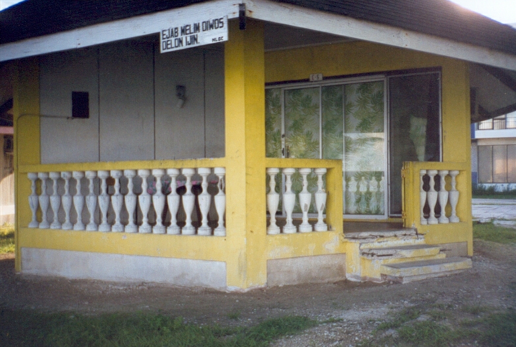
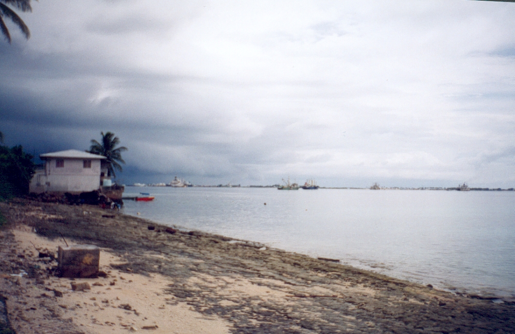
Our small bungalow on the lagoon shore at the Gateway Hotel in Majuro.
|
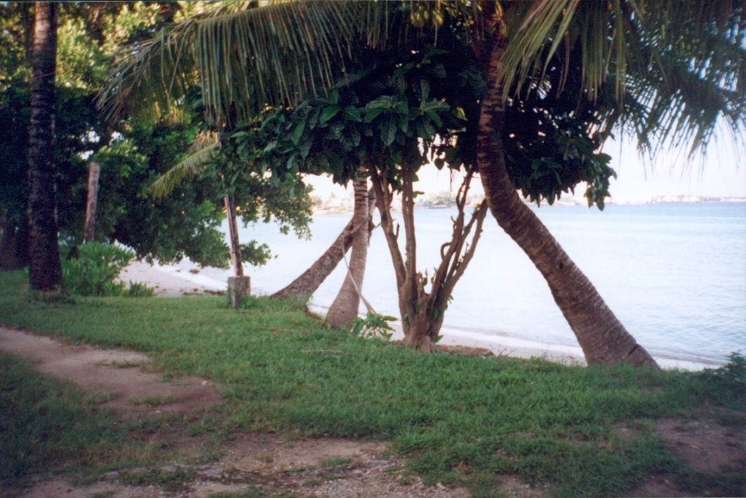
A view of the lagoon immediately outside our Gateway Hotel bungalow. |
Another view of the lagoon immediately outside our bungalow.
|
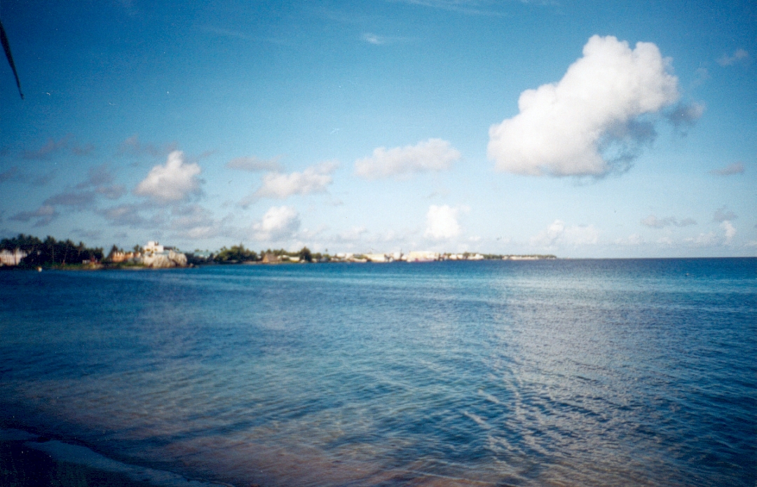
We later moved to the Hotel Marshall Islands and this was the ocean view from our room. Note how close the protective reef is and consider the potential for disaster in the event of a typhoon striking Majuro. |
During the period of the Trust Territory Government, the U.S. Military built causeways and bridges between many of Majuro's islands. We were able to walk to areas that only a few years ago required canoes or boats. Looking south east.
|

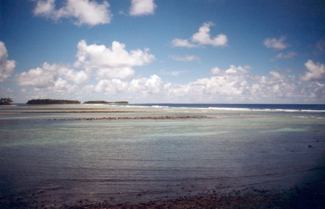
A short way further on and we came to the end of the road at Rita. View looking west across the reef platform. |
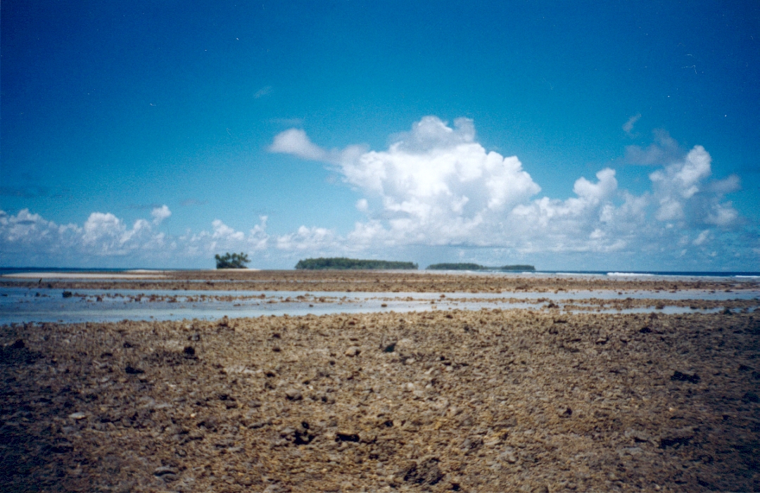
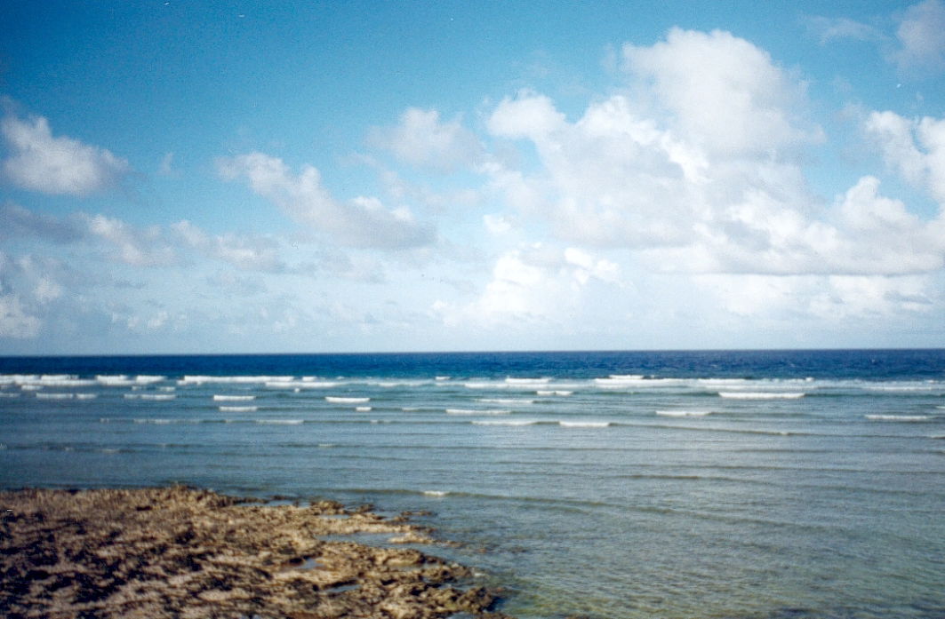
The reefs that are the source of life for all coral atolls are plainly seen at low tide.
|
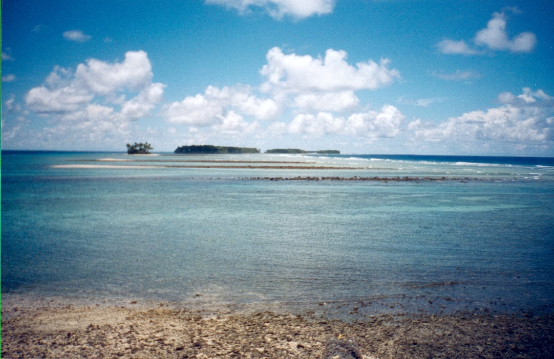
A few hours later and the tide was already well on its way back. |
The average height of land in the Marshall Islands is only two metres. It is not hard to imagine storm surges completely inundating such low islands as these particularly when the fringing reef is so close.
|
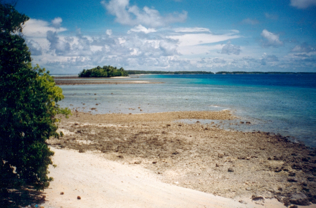
Another example of the fragile beauty of a coral atoll and its dynamic environments. |
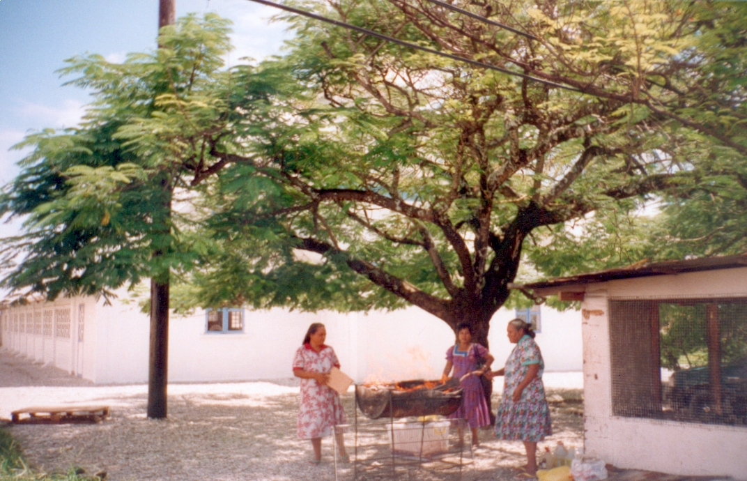
These women ran a small coffee shop and take-away food business in the courtyard under the Alele Museum. In the morning they cooked chickens using this home-made barbecue, packaged them with banana and breadfruit and sold them. The servings were very generous!
|
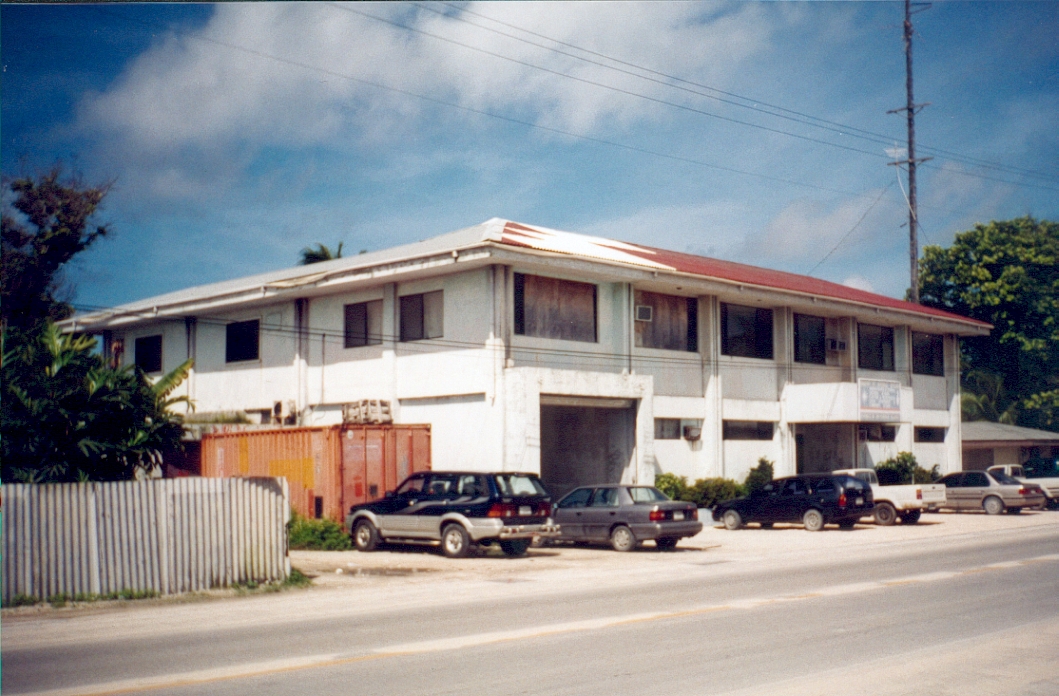
A few metres away was the building in which the Historic Preservation Office of the Marshall Islands was set up. |
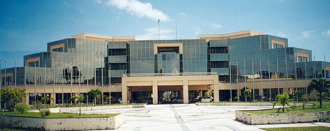
The House of Parliament for the Republic of the Marshall Islands. Viewed from the south.
|
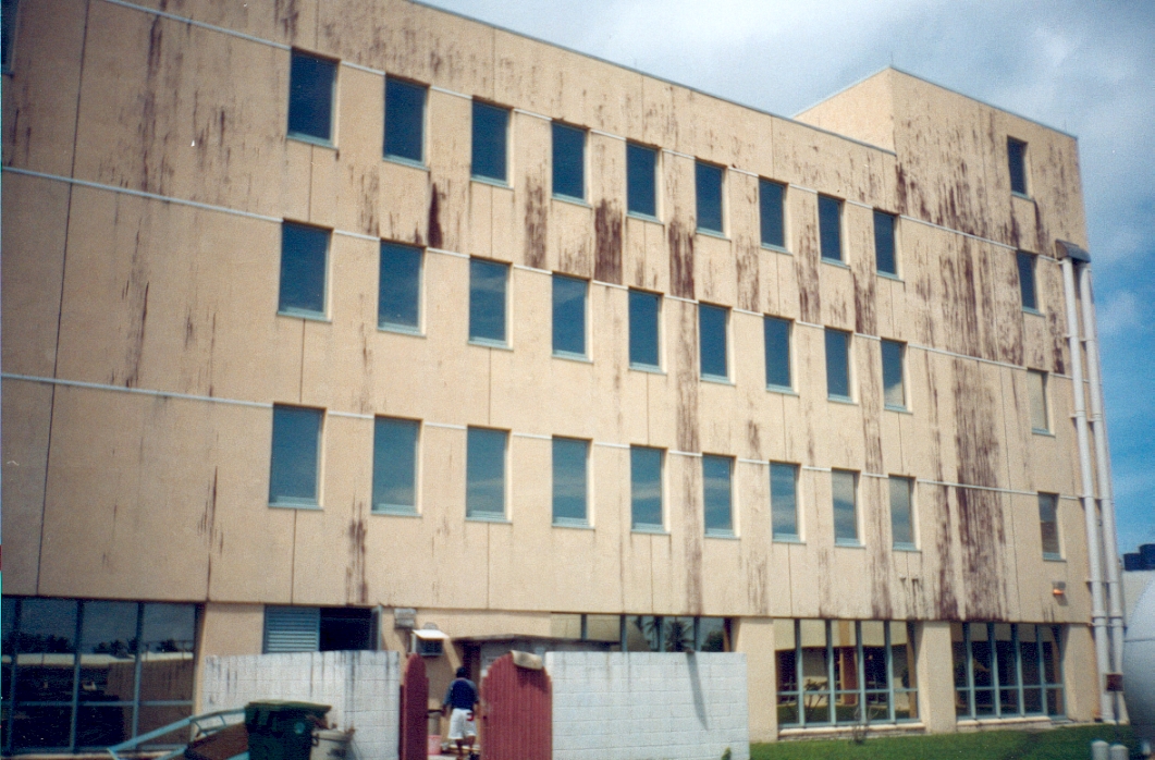
View of Parliament House from the ocean or weather side. Note the increased weathering on this unprotected side of the building.
|
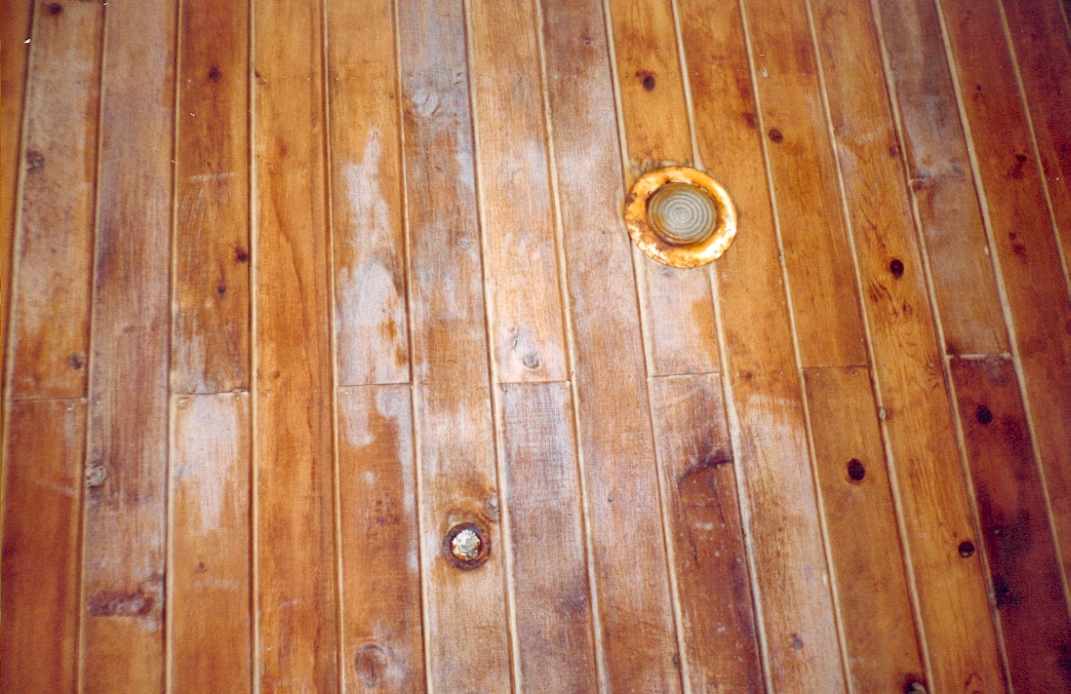
Parliament House on the north eastern or ocean side. Note the corrosion of metal fittings and deterioration of timber finish due to exposure. |
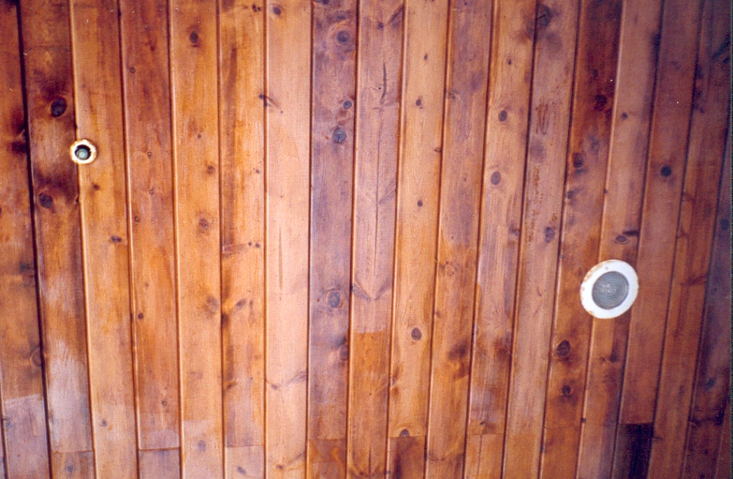
These fittings and timber finish on the lagoon side of the building are the same as those on the ocean side but have not deteriorated to the same extent because they are better protected from the weather.
|
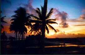
Sunrise at Majuro Airport. |
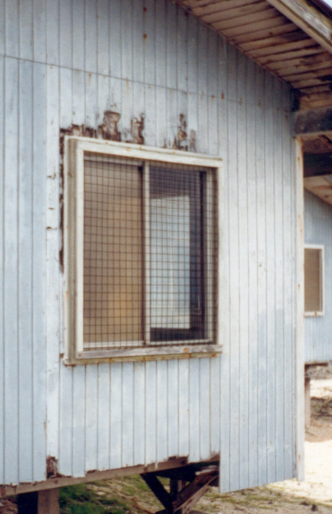
Termites are a major problem in the tropics. The damage they cause is frequently exacerbated by weathering and timber rot. These houses back on to the ocean-side reef platform and had been built for only a few years.
|
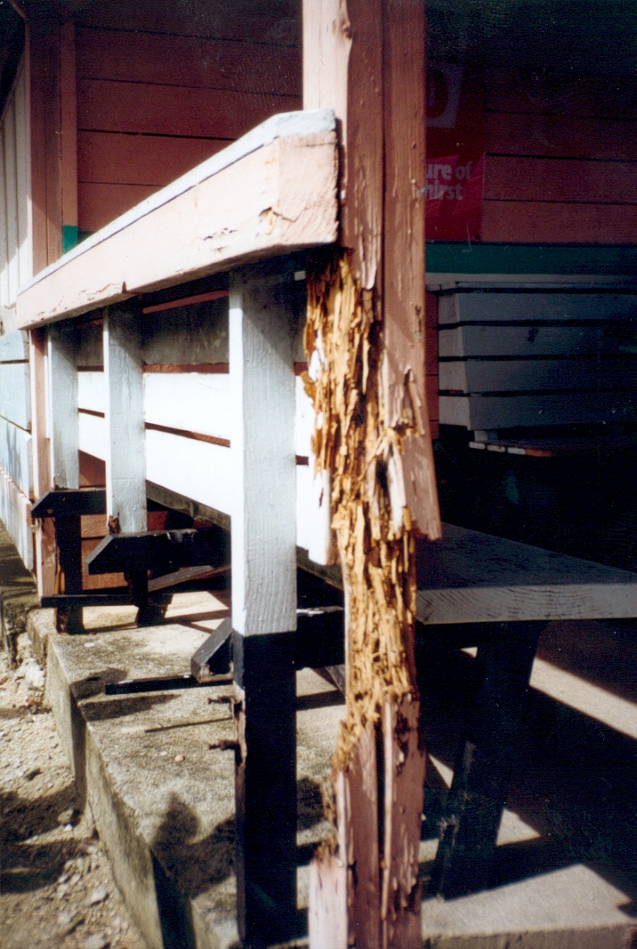
These timber extensions were only three years old! |
Bibliographic citation for this documentO'Neill, Jon G. (2002). Majuro Atoll, Republic of the Marshall Islands-- A Photo Essay. URL: http:/marshall.csu.edu.au/Marshalls/html/ONeill/Majuro.htmlCONTACT: Jon G. O'Neill Institute of Land, Water and Society, Charles Sturt University, P.O.Box 789, Albury NSW 2640, Australia. e-mail: jooneill@csu.edu.au OR: Acknowledgement Authorisation to conduct research in the RMI was obtained from the Honorable Mr. Hiroshi Yamamura, Minister of Internal Affairs and Chairman of the Advisory Council on Historic Preservation. Yokwe and komol tata. |
| select from the following... | ||||||
| |
||||||
|
Digital Micronesia-An
Electronic
Library & Archive
is provided free of charge
as an advertising-free
information service
for the world community. It is being maintained by Dirk
HR Spennemann, Associate
Professor in Cultural
Heritage Management, Institute of Land, Water and Society and School
of Environmental & Information Sciences, Charles
Sturt University,
Albury, Australia. The server
space and technical support are provided by Charles
Sturt University as part of its commitment
to regional engagement. Environmental
SciencesInformation
Sciences
|
||||||