
|
|
Marshall Islands Atoll InformationLikiep Atoll |
| Atoll (name) | Location | Number of Islets |
Land area (km2) | Lagoon area (km2) | Ratio land to lagoon area (km2) | |||||
|---|---|---|---|---|---|---|---|---|---|---|
| English | Marshallese | North | East | area | rank | area | rank | ratio | rank | |
| Likiep | Likiep | 9°54' | 169°10' | 64 | 10.26 | 6 | 424.01 | 10 | 2.42 | 13 |
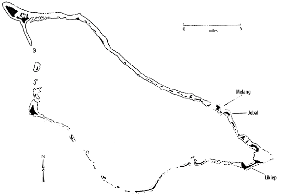
 Sketchmap of Likiep
Count Heyden (Kotzebue 1824)
Graf Heyden (Kotzebue 1824)
Hayden
Legieb
Ligieb
View a 1881 map of Likiep Atoll
Sketchmap of Likiep
Map of Likiep Atoll (1897)
Map of Likiep Island, Likiep Atoll (1897)
List of the Foreign property holdings during the German Colonial Period
Historic Demographic Information for the Marshall Islands--Likiep Atoll
Chronological listing of ships visiting the Marshall Islands until 1885 --Likiep Atoll
Historic Copra Production by Atoll --Likiep Atoll
Moveable Heritage, Likiep Village Historic Site
The Joachim de Brum House—Likiep Historic Village
Likomju de Brum House—Likiep Historic Village
Likiep Atoll, Republic of the Marshall Islands
| select from the following... | ||||||
| |
||||||
|
Digital Micronesia-An
Electronic
Library & Archive
is provided free of charge
as an advertising-free
information service
for the world community. It is being maintained by Dirk
HR Spennemann, Associate
Professor in Cultural
Heritage Management, Institute of Land, Water and Society and School
of Environmental & Information Sciences, Charles
Sturt University,
Albury, Australia. The server
space and technical support are provided by Charles
Sturt University as part of its commitment
to regional engagement. Environmental
SciencesInformation
Sciences
|
||||||