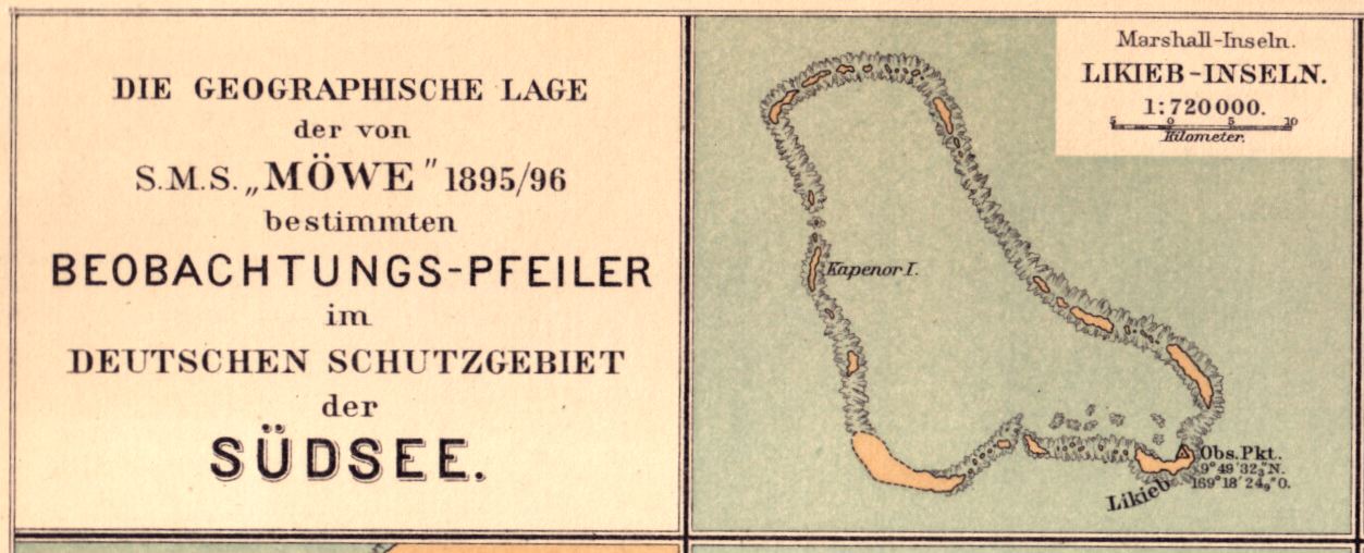
Historic Maps of the Marshall Islands
Map of Likiep Atoll 1896


by Dirk H.R. Spennemann


Map of Likiep Atoll drawn up in 1895/96 as part of the German hydrographic survey establishing astronomic observation blocks on various Pacific possessions.


Source:

Hayn, Dr. (1897) Reichs Marine Amt. Astronomische Ortsbestimmungen im Deutschen Schutzgebiete der Südsee. Berlin: Reichsdruckerei.


[Home Page]      [Historic Maps]

640gif">
CONTACT:
Dirk H.R. Spennemann, Institute of Land, Water and Society, Charles Sturt University, P.O.Box 789, Albury NSW 2640, Australia.
e-mail: dspennemann@csu.edu.au


select from the following...
FAQ
Environment
Politics
Economy
Health
Communications
Geography
History
World War II
Society
Culture
Art
Literature
Stamps


Digital Micronesia-An Electronic Library & Archive is provided free of charge as an advertising-free information service for the world community. It is being maintained by Dirk HR Spennemann, Associate Professor in Cultural Heritage Management, Institute of Land, Water and Society and School of Environmental & Information Sciences, Charles Sturt University, Albury, Australia. The server space and technical support are provided by Charles Sturt University as part of its commitment to regional engagement. Environmental SciencesInformation Sciences

© Dirk Spennemann 1999– 2005
Marshall Islands Kosrae CNMI Commonwealth of the Northern Mariana Islands Guam Wake Pohnpei FSM Federated States of Micronesia Yap Chuuk Marshall Islands politics public health environment culture WWII history literature XXX Cultural Heritage Management Micronesian Journal of the Humanities and Social Sciences CNMI German Colonial Sources Mariana Islands Historic Preservation Spennemann Dirk Spennemann Dirk HR Spennemann Murray Time Louis Becke Jane Downing Downing