
|
|
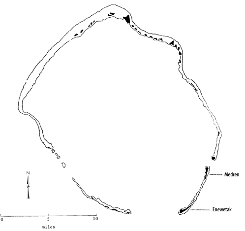
Marshall Islands Atoll InformationEnewetak Atoll |
| Atoll (name) | Location | Number of Islets |
Land area (km2) | Lagoon area (km2) | Ratio land to lagoon area (km2) | |||||
|---|---|---|---|---|---|---|---|---|---|---|
| English | Marshallese | North | East | area | rank | area | rank | ratio | rank | |
| Enewetak | ˆnewetak | 11°30' | 162°20' | 40 | 5.85 | 13 | 1,004.89 | 3 | 0.58 | 29 |
 Arthur (islet) Brown GroupBrown's Range (Butler 1794)Eniwetok EnywetokParry (islet)
Map of Enewetok Atoll (1897)
Map of Enewetok Atoll (1898)
Historic Demographic Information for the Marshall Islands--Enewetak Atoll
Arthur (islet) Brown GroupBrown's Range (Butler 1794)Eniwetok EnywetokParry (islet)
Map of Enewetok Atoll (1897)
Map of Enewetok Atoll (1898)
Historic Demographic Information for the Marshall Islands--Enewetak Atoll
Chronological listing of ships visiting the Marshall Islands until 1885 --Enewetak Atoll
Combat Chronology of the US Army Air Forces in operations against and from the Marshall Islands--Events regarding Enewetak Atoll
Building the Navy's Bases in World War II, Enewetok Naval Base Modern Marshallese Canoes. The Enewetak Walap of 1992
Bibliography| select from the following... | ||||||
| |
||||||
|
Digital Micronesia-An
Electronic
Library & Archive
is provided free of charge
as an advertising-free
information service
for the world community. It is being maintained by Dirk
HR Spennemann, Associate
Professor in Cultural
Heritage Management, Institute of Land, Water and Society and School
of Environmental & Information Sciences, Charles
Sturt University,
Albury, Australia. The server
space and technical support are provided by Charles
Sturt University as part of its commitment
to regional engagement. Environmental
SciencesInformation
Sciences
|
||||||